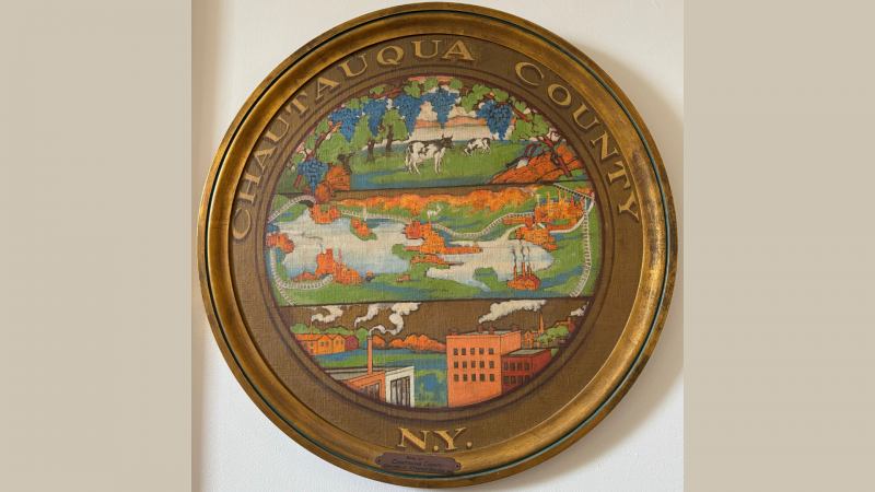
(Chautauqua County Historian Norman Carlson stands with the beautifully framed reproduction of Adam Friedrich Zurner’s Double Hemisphere Map of the World (ca. 1700). Carlson is seeking the community’s help to uncover the map’s origin and identify its original donor so it can be properly displayed with recognition.)
Chautauqua County Historian Norman Carlson is asking the public for assistance in uncovering the story behind a striking framed copy of Adam Friedrich Zurner’s Double Hemisphere Map of the World, ca. 1700, recently discovered within county offices.
This summer, Chautauqua County’s Human Resources Department presented Carlson with the 31.5-by-26-inch map, which appears to have been professionally reproduced, carefully framed, and preserved behind glass. The piece is in immaculate condition—so vibrant that it seems printed on polished metal rather than paper.
Despite its craftsmanship and the obvious care taken in its presentation, no one within Human Resources—or elsewhere in county government—has been able to recall when the map was donated, who gifted it, or the original purpose behind the donation.
“This is not the kind of item that simply shows up without meaning,” said Carlson. “Someone invested significant time, money, and thought into creating this beautiful reproduction of a historically important map. It was clearly intended to be displayed with purpose and pride. Unfortunately, the story behind it has been lost, and we would like the public’s help to find it.”
Adam Friedrich Zurner (1679–1742) was a celebrated German cartographer known for his detailed survey work for the Saxon court. His double hemisphere world map reflects the expanding global knowledge of the early 18th century, combining the best science of the era with ornate Baroque artistry.
Maps of this type often featured:
- Two hemispheres displaying the known world circa 1700
- Decorative scenes, allegorical figures, and celestial diagrams
- Coastlines and territories based on emerging exploration
- Areas of uncertainty, particularly near the poles and across the Pacific
Because of their beauty and prestige, such maps were commonly presented as commemorative gifts, office enhancements, or symbols of scholarship and exploration.
Carlson is inviting anyone in Chautauqua County who may recall the map’s donation—or who recognizes its framing, style, or origin—to come forward.
“Even the smallest memory, photo, or mention could help us fill in the missing chapter,” Carlson said. “Most importantly, we want to properly credit the individual or organization who originally donated it. This piece deserves to have its story told.”
Once its origins are identified, the map will be displayed publicly with appropriate historical context and donor recognition.
Community members with information are encouraged to contact the Chautauqua County Historical Services Office.
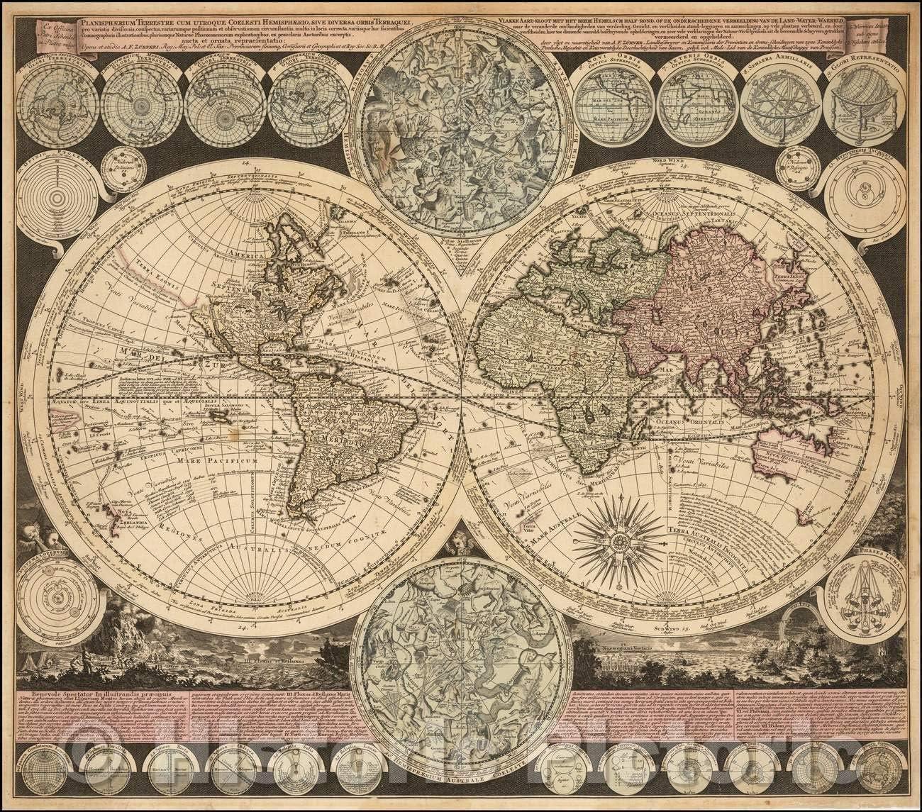
(A closer look at Adam Friedrich Zurner Double Hemisphere Map of the World (ca. 1700).)