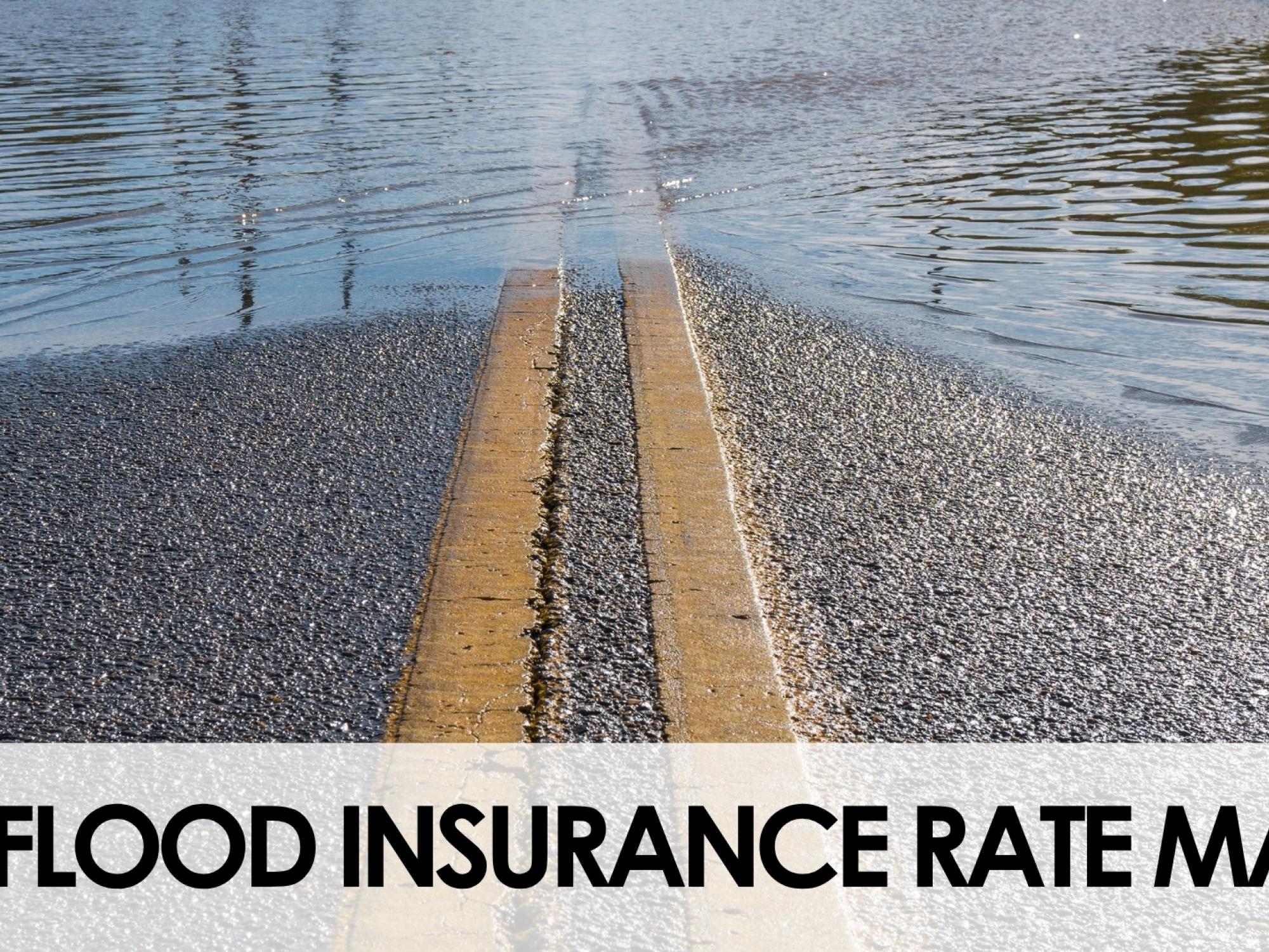
JAMESTOWN, N.Y. – Updates to Chautauqua County’s Flood Insurance Rate Maps (FIRM) are within the 90-day review period. The new maps will provide Chautauqua County with up-to-date flood risk information and tools that can be used to enhance local mitigation plans and help officials and residents make better decisions about reducing flood risks and purchasing flood insurance.
The maps have been updated using new topographic information, improved engineering analyses, and updated flood risk data. FEMA has posted digital copies of these revised FIRM and FIS report materials to the following website: https://hazards.fema.gov/femaportal/prelimdownload/.
The county’s mapping project is part of a nationwide effort led by the Federal Emergency Management Agency (FEMA) to increase local knowledge of flood risks and support actions to address and reduce those risks. The updated maps reflect the most current understanding of flood risks in our community. The work in Chautauqua County has been led by FEMA Region 2, in partnership with local community officials.
Before the new Flood Insurance Rate Map is finalized, a 90-day appeal period will give municipalities and property owners a chance to provide additional technical data or non-technical comments for FEMA’s consideration. County officials encourage the community to review the proposed map changes, learn about local flood risks and potential flood insurance implications, and determine whether any comments or appeals should be submitted.
If members of the community notice incorrect information that does not involve changing the flood hazard-related information – such as a missing or misspelled road name or an incorrect municipal boundary – a written correction, or “comment”, can be submitted. If members of the community believe that portions of the proposed maps are inaccurate and have technical or scientific data—such as detailed hydraulic or hydrologic analyses—to support their position, they may submit an appeal during the 90-day appeal period. Base flood elevations, floodplain boundaries, floodway boundaries, and/or scientific mapping errors can be appealed with appropriate technical and scientific information. General statements of disagreement are not considered valid appeals. All comments and appeals must be submitted through the local officials.
Because submitting an appeal requires some time and effort, property owners are encouraged to review the updated flood maps now. If you are interested in submitting an appeal, it is highly recommended that you first discuss with your local municipal officials regarding the appeal process.
Once finalized, these flood hazard determinations will serve as the basis for local floodplain management regulations and will help communities maintain eligibility for participation in the National Flood Insurance Program (NFIP). The revised flood maps may also change flood zone designations, affect future development requirements, influence building standards, and potentially affect flood insurance requirements.
Chautauqua County is currently developing a Countywide Resiliency Plan. The Plan focuses on identifying and preparing for climate-related risks and natural hazards, such as flooding, extreme heat, and severe storms. We would like to hear what kind of climate hazards you are facing in your community! A Community Visioning Workshop will be held on Thursday, July 16th from 5:00-6:30 PM at Prendergast Library (509 Cherry St, Jamestown, NY 14701) in Jamestown, participate from the SUNY Fredonia Center for Innovation and Economic Development satellite location, or join the live Zoom webinar to share their perspectives and help shape strategies that will strengthen community resilience for years to come. Visit the project website to learn more, stay up-to-date, and sign up for project notifications: https://bandl.mysocialpinpoint.com/resilient-chautauqua-county.
For information on the statutory 90-day period provided for appeals, as well as a complete listing of the communities affected and the locations where copies of the FIRM are available for review, please visit FEMA’s website at https://www.floodmaps.fema.gov/fhm/BFE_Status/bfe_main.asp or call the FEMA Mapping and Insurance eXchange (FMIX) toll free at 1-877-FEMA MAP (1-877-336-2627).